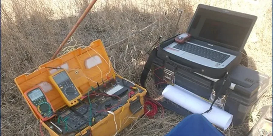
BS 5930:2015+A1:2020 remains the backbone of UK site investigation, and in Southend-on-Sea the application of Vertical Electrical Sounding (VES) is often the fastest way to map subsurface variability before a single borehole is drilled. The town stretches across river terrace gravels, London Clay outcrops and pockets of alluvium along the Thames Estuary, which means resistivity contrasts can be sharp. A Schlumberger array deployed near the seafront produces very different apparent resistivity curves compared to a line run further inland near Priory Park. Our team runs the survey, processes the data with RES2DINV, and delivers a geoelectric cross-section tied to BS EN 1997-2 ground investigation requirements. MASW surveys complement the resistivity data when shear-wave velocity profiles are needed for seismic site class determination, and CPT testing provides a direct mechanical check on the interpreted strata boundaries.
A VES sounding in Southend-on-Sea can resolve the London Clay-sand interface within ±0.5 metre when constrained by a single borehole log.
Local context
The Thames Estuary setting creates a specific risk for resistivity interpretation in Southend-on-Sea: tidal saline intrusion. Boreholes within 800 metres of the shoreline often encounter groundwater with electrical conductivity exceeding 2,000 µS/cm, which suppresses formation resistivity and can mask the genuine lithological contrast between silty sand and clay. Without correction, the inverted model may suggest a thick clay layer where permeable sand actually exists. Our processing sequence includes a pore-water conductivity correction derived from on-site water samples when the target depth is within the zone of tidal influence. A second challenge is the man-made ground along the seafront and the former brickearth extraction pits scattered through the borough. Buried concrete, fragmented brick and metallic debris produce erratic high-resistivity anomalies that require careful editing during inversion, otherwise the model overestimates the depth to competent London Clay.
Common questions
What depth can a VES survey reach in Southend-on-Sea soils?
With a standard Schlumberger array and a maximum current-electrode spacing of 150 metres, the investigation depth typically reaches 30 to 50 metres in the local geology. Penetration depends on the resistivity of the near-surface layer. In the dry gravel terraces north of the A127, we routinely achieve 40-metre depth. In the wet alluvial clays closer to the estuary, the effective penetration reduces slightly but remains adequate to map the London Clay interface.
How much does a VES resistivity survey cost in Southend-on-Sea?
A single-station VES survey in Southend-on-Sea ranges from £530 to £910, depending on the number of soundings, the required depth and whether additional MASW or CPT correlation is included. Multi-station profiling and combined geophysics packages are priced per linear metre after the first station.
Can VES distinguish between saturated sand and clay in the Thames Estuary zone?
The reference range for this service in Southend-on-Sea is £530 - £910. The final price depends on the project scope and volume.
What array do you use for VES in urban Southend-on-Sea?
We default to the Schlumberger array because it requires moving only the current electrodes for most of the expansion steps, which is faster and causes less disruption on paved surfaces. The Wenner array is available when better lateral resolution is needed, but it demands more electrode moves and is generally reserved for open ground such as parkland or former school playing fields.