BS 1377-9:1990 sets the standard for in-place density measurement, and in Southend-on-Sea that standard gets tested by ground conditions few other UK coastal towns share. The sand cone method gives us a direct measurement of compacted dry density. No nuclear gauges. No assumptions about soil chemistry. We pour calibrated sand into an excavated hole, weigh the material removed, and calculate the dry density against the laboratory Proctor maximum. For earthworks sitting on London Clay with pockets of brickearth or over historic made ground along the Thames Estuary, this level of direct verification matters. The borough’s Pleistocene gravel terraces and soft alluvial deposits create compaction windows that are narrower than clients expect—particularly where the water table sits within 1.5–2.0 metres of the surface in the winter months. A Proctor test establishes the reference curve, and without it the sand cone numbers are just numbers.
On Southend’s brickearth and London Clay, a 95% compaction ratio is achievable, but hitting it requires moisture control within ±2% of optimum—confirmed by sand cone tests every 300 mm of lift.
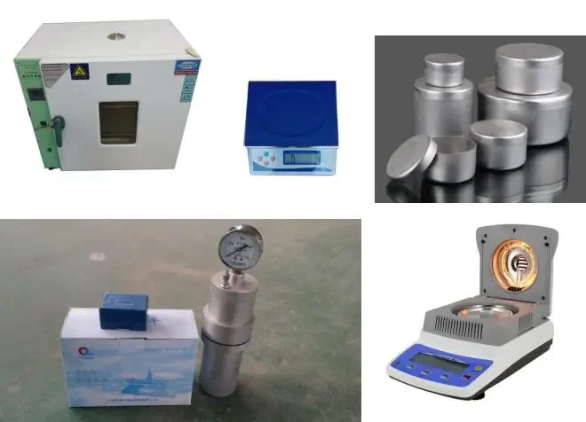
Process overview
Southend-on-Sea sits on a geological patchwork that makes density testing anything but routine. The London Clay Formation underlies much of the borough, but superficial deposits tell the real story: brickearth across the Leigh-on-Sea and Westcliff terraces, river terrace gravels near the Roach, and significant thicknesses of made ground along the seafront where Victorian and mid-20th-century reclamation filled former mudflats. Compaction on brickearth can look adequate on the lift surface and still fail at depth because the silt-rich matrix holds moisture unevenly. We run the sand cone test at multiple lifts—typically every 300 mm of compacted thickness—and cross-check with a
grain-size analysis when the material classification is uncertain. On the clay-rich London Clay fill, we also track the
Atterberg limits because plasticity directly controls the achievable density at a given moisture content. The procedure itself is straightforward: excavate a hole, recover all material, determine the mass, fill the cavity with calibrated sand of known density, and back-calculate volume. The result is a dry density in Mg/m³ that we compare directly to the laboratory maximum from BS 1377-4. For Southend’s coastal projects—the airport expansion, Shoebury Garrison redevelopment, the Cliffs Pavilion area—we’ve seen compaction ratios below 92% on first pass more often than not, usually because the site team underestimated the effect of tidal moisture on the clay fraction.
Local context
Southend-on-Sea’s average elevation of roughly 20 metres AOD masks the real risk: much of the developable land sits below 10 metres, with groundwater influenced by the Thames Estuary tidal range of up to 6 metres. A compaction test that passes in August can fail in February because the soil’s natural moisture content shifts. In brickearth, density drops of 3–5% between dry and wet-season testing are common. In made ground along the seafront—some of it more than 4 metres thick with brick rubble, ash, and dredged silt—the sand cone method reveals void ratios that standard nuclear gauges misread entirely. A failed density test in Southend doesn’t just mean re-rolling. It often triggers a review of the entire earthworks specification. We have seen cases where a single low result at 200 mm depth led to uncovering unsuitable material from old basements or filled creeks that predate the 1950s Ordnance Survey. The cost of missing that is differential settlement, cracked slabs, and drainage failure within two years of handover.